 |
Click here to see the October report |
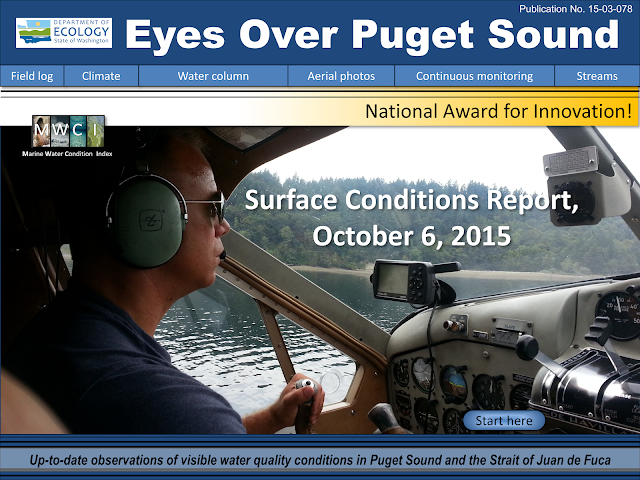
On this month's flight we saw fewer algal blooms, jellyfish and macro-algae as a result of the water's salinity becoming more normal.
And the national Innovations Award winners are...
 |
| Team members from our Eyes Over Puget Sound and Ferries for Science programs pose with Director Maia Bellon and their 2015 ECOS Innovations Award. |
Our marine programs were honored by this award for finding innovative solutions to funding, timeliness and public engagement in marine monitoring. Learn more about the award in our report.
Nisqually River fares okay through drought
Did you know that half the total freshwater that enters Puget Sound comes from the Nisqually River? This river fared the drought better than other rivers in Washington this year. Check out graphs, water quality improvement projects, and watershed restoration efforts in our Streams section of this month's report.Keeping an eye on Puget Sound
Even with conditions trending back toward normal, waters are still warmer than usual for this time of year. El Niño and the Blob are likely to affect Puget Sound and keep waters warm throughout the winter. We'll continue monitoring Puget Sound and report conditions to you as we find them.What's Eyes Over Puget Sound?
Eyes Over Puget Sound combines high-resolution photo observations with satellite images, ferry data from travel between Seattle and Victoria BC, and measurements from our moored instruments. We use a seaplane to travel between our monitoring stations because they are so far apart.Once a month, we take photos of Puget Sound water conditions and turn those out, along with data from our stations, in the monthly Eyes Over Puget Sound report.
Learn more and see other issues on our website.

No comments:
Post a Comment